You can find this route on the BikeSquare app with code M04
This ebike route runs between ancient hamlets and breathtaking mountain landscapes at the foot of the 'King of Stone', Monviso.
This itinerary is divided into two loops that can be cycled together or separately.
The first is simpler and climbs the slope towards Pian Munè, passing through the hamlets of Croesio, Borghini, Salis and Rocciaia, along secondary dirt roads and then descending to Paesana along the tarmac road.
The second loop, recommended for experienced cyclists, starts from Pian Munè and reaches Mount Turnour at an altitude of 1,554 metres. It then descends along well-maintained but challenging mountain dirt roads to the villages of Serre and Oncino and from there, via the provincial road, to Paesana.
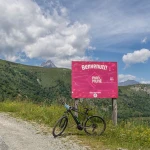
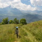
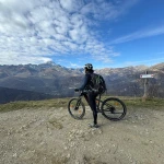
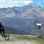
In this itinerary, thanks to the aid of e-bikes, you can reach one of the most beautiful panoramic balconies towards the plains of Turin and Cuneo, Pian Munè. It is the ideal place for a quiet break away from the worries of the city after a pleasant ride that nonetheless has quite a bit of elevation gain. From there, our advice is to take the easy dirt road to Monte Turnour and continue a few hundred metres until Monviso appears in all its majesty, with its 3841 metres of altitude.
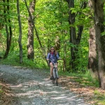
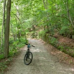
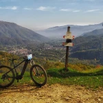
The descent from Pian Munè towards the hamlets of Serre and Oncino passes from the high-altitude meadows full of flowers in spring to the beech and chestnut woods surrounding the two hamlets.
Information
Starting from €45
per person
-
60 Km
-
6 hours
-
 1 day
1 day
 Paved road
 Dirt road
 Sports
 Mountains
 Well indicated
 Guided
 Self Guided
 Adrenalin
 Difficult
 Light Climbs
 Extreme Climbs
 Bike
Bike
- Difficulty: 4


