You can find this route on the BikeSquare app with code LM10
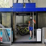
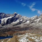
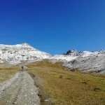
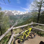
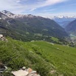
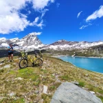
ATTENTION PLOT FOR EXPERT BIKERS !!! starts from the fraction Brengon in front of all 'Hotel Tantané and goes up in the direction Veuillen towards the famous walk La Magdeleine / Chamois. After about 2 km of asphalt the road becomes dirt and goes perracing in the lakes direction of Champlong for about 3 km up to 2400 m. (a pretty steep white street). Once it has arrived to the ponds, continue on the same road until the downhill and start the descent towards l ', which is a steep descent of steep descent but on a white road. Once you have arrived at all 'alworst Foresus take the first road to the right and rise to the chamois municipality's rise facilities, passing through to a gracious alworst, Glavin. Joints at the landing station of the chairlift take the road that rises to the right and after about 100m prey the deviation to the left. After about 200m you will arrive at a return, be careful and take the road that leaves to the left in slight climb. The road becomes a slightly downhill path that after about 300m joins the famous path no. 107 balcony of the Cervino. Follow the directions for the path no. 107, after about 1 km the trail becomes technical, WE RECOMMEND TO THOSE WHO DO NOT FEEL THAT THEY GET OFF THE BIKE AND PUSH FOR ABOUT 15/20 MIN. The trail comes back pedaling again if it is technical enough and takes you to Cheneil's conca spree. Come to the village take the white road to the left and descend this time, along the wheelchair road all the way up to 'area picnic area of Champlève. Cross over l 'area pic nic and go down again for about 1 km until you reach a return with a replacement to the left that cost the winter ski racetrack. Before the return you take the road to the right. Go up without taking any particular deviations up to the 'arrival of the 'white) of Salette, durable, about an oretta. Arriving at the landing station of the 'ovetto drop off to the left to l 'embark of the chairlift along the way and take, after about 400m the path on the right, YOU NEED TO PUSH THE BIKE FOR ABOUT 15 MIN. You will arrive at an alworst with a white road, enter it and start down, at the first intersection you find carried out to the right, a flat semi-flat road leads you to another crossroads, take to the right and date back for about 20. You will arrive at the departure of the carllin used to build the Goillet Lake Dam. A beautiful oratorio waits for you for a break and to admire his majesty the Cervino. From here the old rail, which has now become path, will take you to Lake Goillet. Finish the rail take to the right and climb to the barrier of Lake and prepare for the pure spectacle, weather permitting. Okay the climb is over you can get back in. Take back the dirt road that descends and always tends to the right jungles at the departure of the 'ovetto for Plan Maison. Joints in the parking lot of the stun cars take the right and go back to the body-car. At the top of the road turn left and at the next bivio to the right, go down and then still to the right to arrive at the church of Breuil Cervinia. You can take a swig in the pedestrian street after you return to the church and following the road you go down to the roundabout, just after the roundabout, you enter the parking lot. Cross it all and in the bottom you keep the right, cost the gallery paramasses and arrive at the distributor. Take to the right and take the narrow lane leading to the Golf field, after about 50m take the trail to the left with indication Perreres / Valtournenche. Continue along the Marmore, attention technical path very frequented SE DO NOT VE THE FEEL COME DOWN FROM THE BIKE. Coming to the bottom of the right and after having overstepped the colony at the crossroads you will take the right by passing over the bridge. Continue on the dirt until you get to a clearing with some casks, take the crossroads to the left and reach for Crepin. From here we advise you to kindly follow the trail to the Buisson funiway. Come to Buisson take the rope and climb into the municipality of Chamois. You can stop and drink a nice little birdie at the bar funiway, the complicated part of the tour is over. In the square where you find yourself go to the left to the town hall and follow the directions for La Magdeleine. After 4 km you have arrived again on the 'tarmac. Take it to the right and go down to the country. Compliments you just walked 60 km. .. you are real Bikers.
Information
-
Departure from La Magdeleine, Chamois, Valtournenche, Antey St. André
-
60 Km
-
6 hours
- Difficulty: 4


