Descrizione
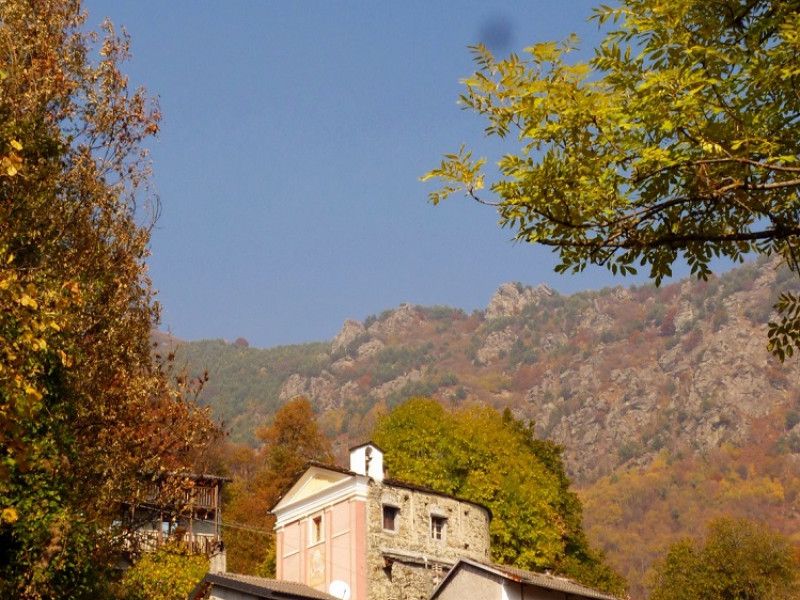
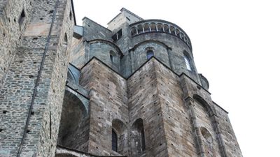
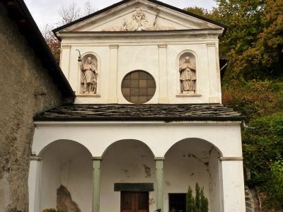
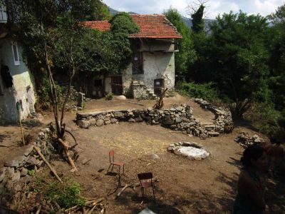
Super-panoramic tour in the southern side of the lower Val Susa for discovering Romanesque churches and baroque façades among ancient villages and ecovillages immersed in beech and chestnut woods. The basic itinerary develops in a ring over a distance of just over 50 km of asphalted and unpaved roads with slightly challenging paths. It starts from Avigliana to reach Almese, Villardora and then rise from the valley floor to reach the village of Celle, excellent vantage point in front of the Sacra di San Michele, where you can find refreshment at the small but cozy Rifugio Rocca Sella (from which you can see an interesting hiking trail that leads to the homonymous peak). From here you go along a downhill section crossing the villages of Campernaldo, Campambiardo and Peroldrado and then continue to go up strongly over the Sessi valley in the direction of Sigliodo, Lajetto and Pratobotrile from which you reach the villages Camporossetto and Muni (or Moni) on a dirt road (with the possibility of covering a small variant along the ancient path that connects the two villages). From Muni, the basic route involves going back along the road up to Sigliodo to continue up to Pralesio and then Mocchie. As an alternative variant you can take the mule track that leads to the villages Garneri, Magnotti, almost entirely "pedaled", or walkable in the few more challenging stretches ... here is a road that goes down to Mocchie passing by the perched village Bellafugera. Mocchie is worth a stop for many reasons, including the possibility of recharging the bike batteries, tasting excellent Piedmontese dishes at the Trattoria del Sole, seeing a Romanesque bell tower. Before leaving, we recommend visiting alleys which until the 50s were the most populated municipalities of the valley (today fraction of Condove), with a parish church with an imposing baroque facade and a huge square in front of which you can enjoy a spectacular landscape. From Mocchie the route continues to climb up to Frassinere from which you take a downhill road that passes from Alotti, from Trune (ecovillage) and finally from Magnoletto to finish at Condove from which you will return to Avigliana passing from Chiusa San Michele and Sant ' Ambrogio.